Maps
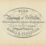
1873 JOHN VARDY plans
1873. These maps are considered some of the most beautiful maps done of areas in early Melbourne. They were commissioned by the Town of St Kilda and provide a snapshot of the township at that time. The edition you are viewing is from a lithograph edition produced for the Town Clerk at the time. The maps are indexed with the owners at the time and the buildings classified as to whether or not they were timber of brick/stone..
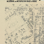
MMBW Composite map St Kilda East.
1890 The Melbourne Metropolitan Board of Works has detailed maps of the whole of Melbourne from 2 time periods. The St Kilda area was mapped in the late 1890's with a subsequent update of the same areas in 1940 (not all were updated). They can be accessed on the NLV website and are identified by number. The SKHS plans to download the full set of maps for the St Kilda area with the assistance of the PROV and has a valuable and unique composite map of the St Kilda area which it plans to digitize in the near future (2022)
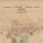
1857 Railway Map of Melbourne including the Sandringham Line
1867 Map is a very clear map of early Melbourne transport systems. Since the Sandringham line was not completed until 1959 this map is more in the way of proposed train links.
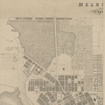
1855 James Kearney Maps
James Kearney maps were some of the earliest maps done of Melbourne which include the buildings at the time. In1855 Melbourne is in a early stage of its development.
4 maps identify the key areas of early Melbourne.
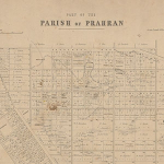
1857 Crown Allotments St Kilda part of Parish of Prahran
1857 is one of the earliest maps the area. Useful as it includes the iownership of Crown allotments and gives an indication of the natural land formation and vegetation..
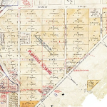
1857 Crown Allotments St Kilda Planning Scheme (part) M27(333)
1857. St Kilda Town planning map: Revised as being the St Kilda City planning map showing the early allotments in the St Kilda Hill area. As well as allottments there are early changes to use makred in red.. Since it is part of a larger map we plan to ensure the full map is digitized and accessibble to clearly identiy the first owners of Crown Allotments in the St Kilda area.


