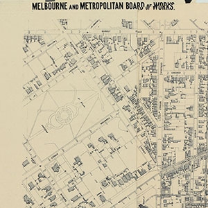
1890 The Melbourne Metropolitan Board of Works has detailed maps of the whole of Melbourne from 2 time periods. The St Kilda area was mapped in the late 1890's with a subsequent update of the same areas in 1940 (not all were updated). They can be accessed on the NLV website and are identified by number. The SKHS plans to download the full set of maps for the St Kilda area with the assistance of the PROV and has a valuable and unique composite map of the St Kilda area which it plans to digitize in the near future (2022)